
Boat How
Height 1105 feet/337metres
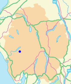
Grid Reference NY 177 034
Area
Birkett - Western Fells, Eskdale Fells - Top No. 506
Wainwright - The Outlying Fells
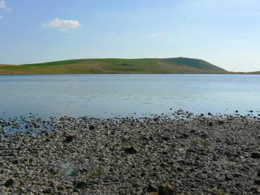
Boat How seen across Burnmoor Tarn.
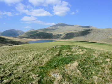
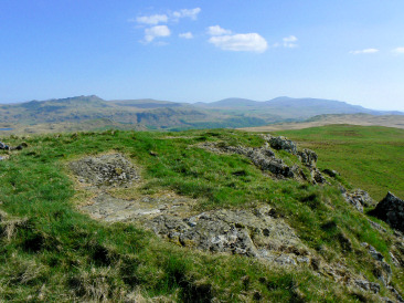
Looking towards Scafell from Boat How's summit.
Boat How's summit from Eskdale Moor.
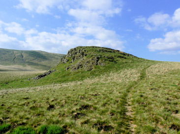
Boat How's unmarked summit.
Irton Road Station - Miterdale Forest - Irton Fell - Whin Rigg - Illgill Head - Burnmoor Tarn - Boat How - Boot
Hollins Farm Campsite - Eel Tarn - Burnmoor Tarn - Hard Rigg - Burnmoor Tarn - Boat How (89) - Brat's Moss - Boot Inn - Hollins Farm Campsite
All pictures copyright © Peak Walker 2021
©Crown copyright. All rights reserved. Licence number 100045184.